
🎮 Which Colour Draws It?
The five colours of a topographic map
📖 About this game
A game on the topographic map lesson, whose text is its rule: black for what people built, blue for water bodies, red for roads and cities, brown for contour lines showing elevation, and green for vegetation cover. Why five baskets each painted in its own colour: a map is read with the eye and not by name, and a learner who carries a feature to its colour has read a map rather than memorised a table. Why twenty features rather than five: understanding lies in extending the rule to what the book never named, and a learner who knows that a dam is human-made and a river is a water body has taken hold of the principle rather than the example. The balance is not optional: two cards from each colour in every round, or the learner would learn that one colour is the likeliest. The reveal shows the other features that share that colour as proof. Ten rounds. No sign-up.
🕹️ How to play
- Read the name of the feature shown.
- Ask: is it human-made, water, a road, elevation, or vegetation?
- Tap the matching coloured basket out of the five.
- Every feature you get first try counts for you.
🆕 Latest games in this section
🧒 Kids corner — more activities

🏆 Learn & compete — leaderboard games
Educational games from the main ScorePoint catalogue: they include leaderboards and ads.
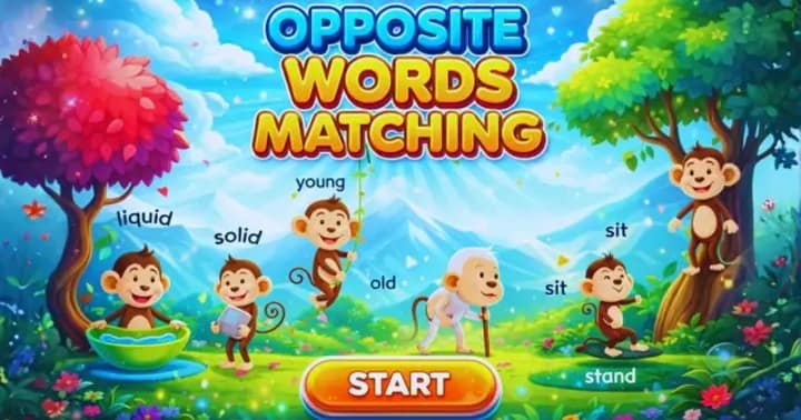 Opposite Words
Match each word with its opposite across 80 images and 15 levels.
Opposite Words
Match each word with its opposite across 80 images and 15 levels.
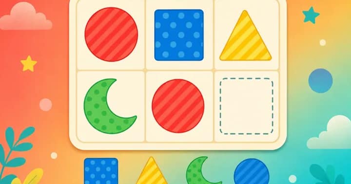
 Image Matching
Drag the right image to complete the pattern across 45 levels.
Image Matching
Drag the right image to complete the pattern across 45 levels.
 Memory Matching
Flip the cards and match the pairs before time runs out.
Memory Matching
Flip the cards and match the pairs before time runs out.
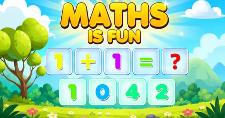 Maths is Fun
Pick the right number to solve addition and multiplication puzzles.
Maths is Fun
Pick the right number to solve addition and multiplication puzzles.